NY Imagery work
October, 22-23, 2008
Posted 10/23/2008
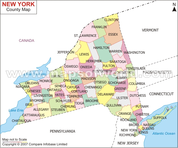
This image is a NEW YORK STATE COUNTY MAP which was found on internet on 10/22/2008 this map was used to verify the county lables from the shape file.
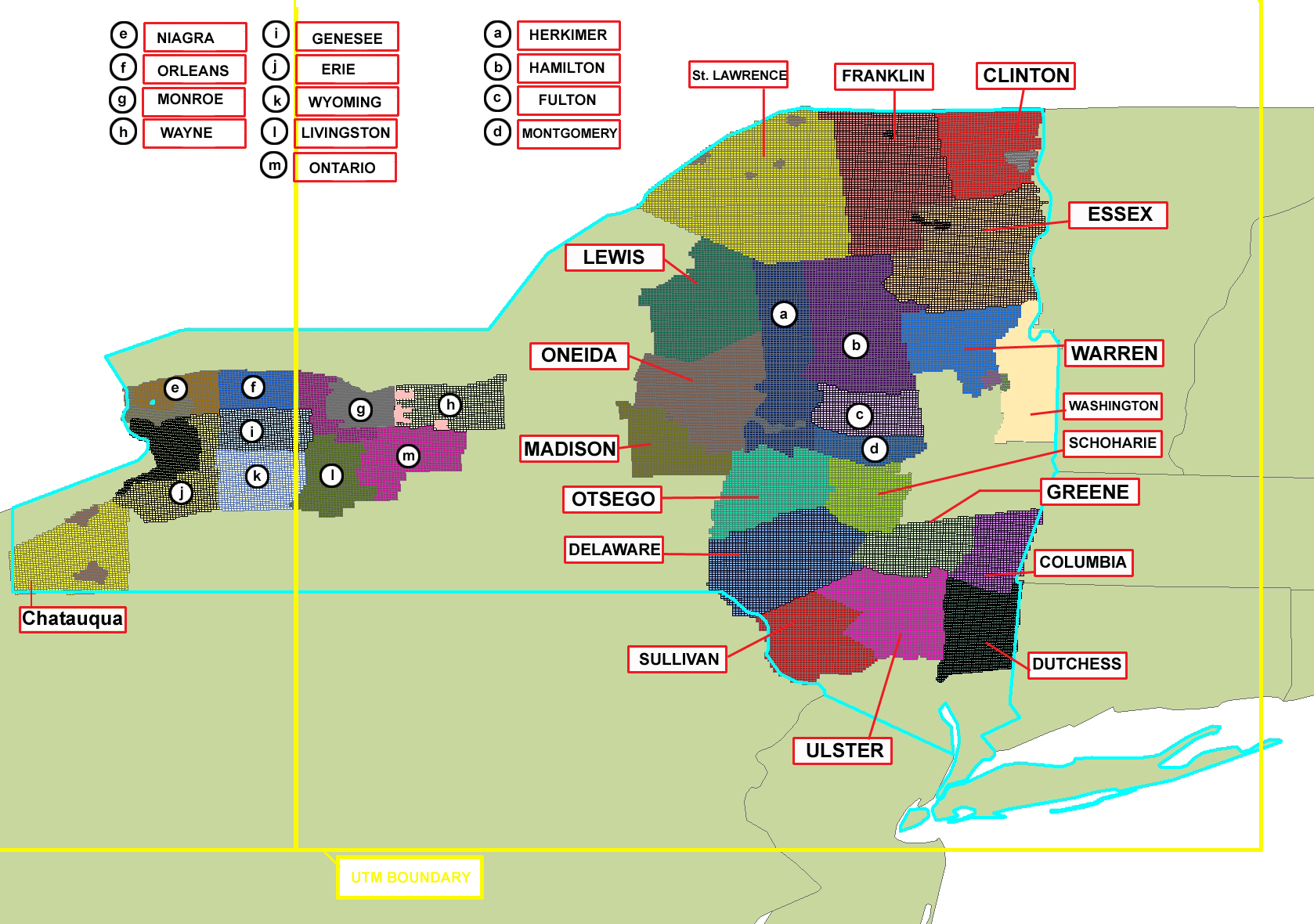
Image showing NY_UTM.shp information for Mike Right. November 06,2008.
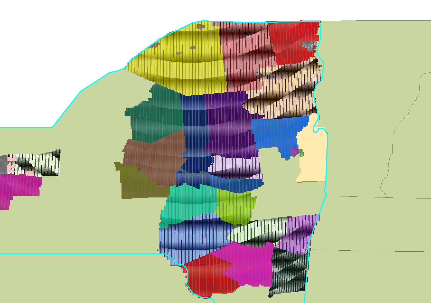
ARC GIS Image shape files compilation
= NY county

New York Counties Identified
cln
col
del
dut
eri
esx
frk
ful
gen
grn
ham
hrk
lew
liv
mad
clinton
columbia
delaware
dutchess
erie
essex
franklin
fulton
genesee
greene
hamilton
herkimer
lewis
livingston
madison
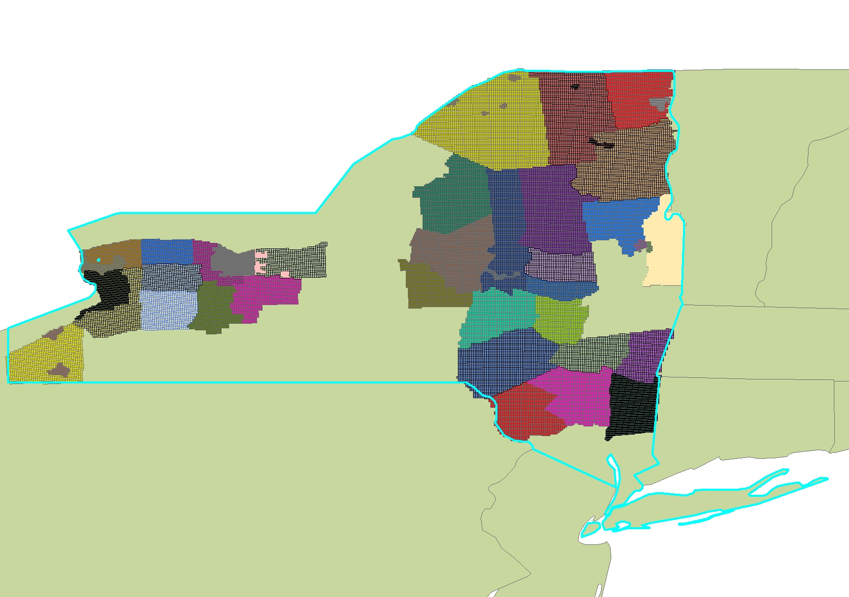
New York Counties [no-id]
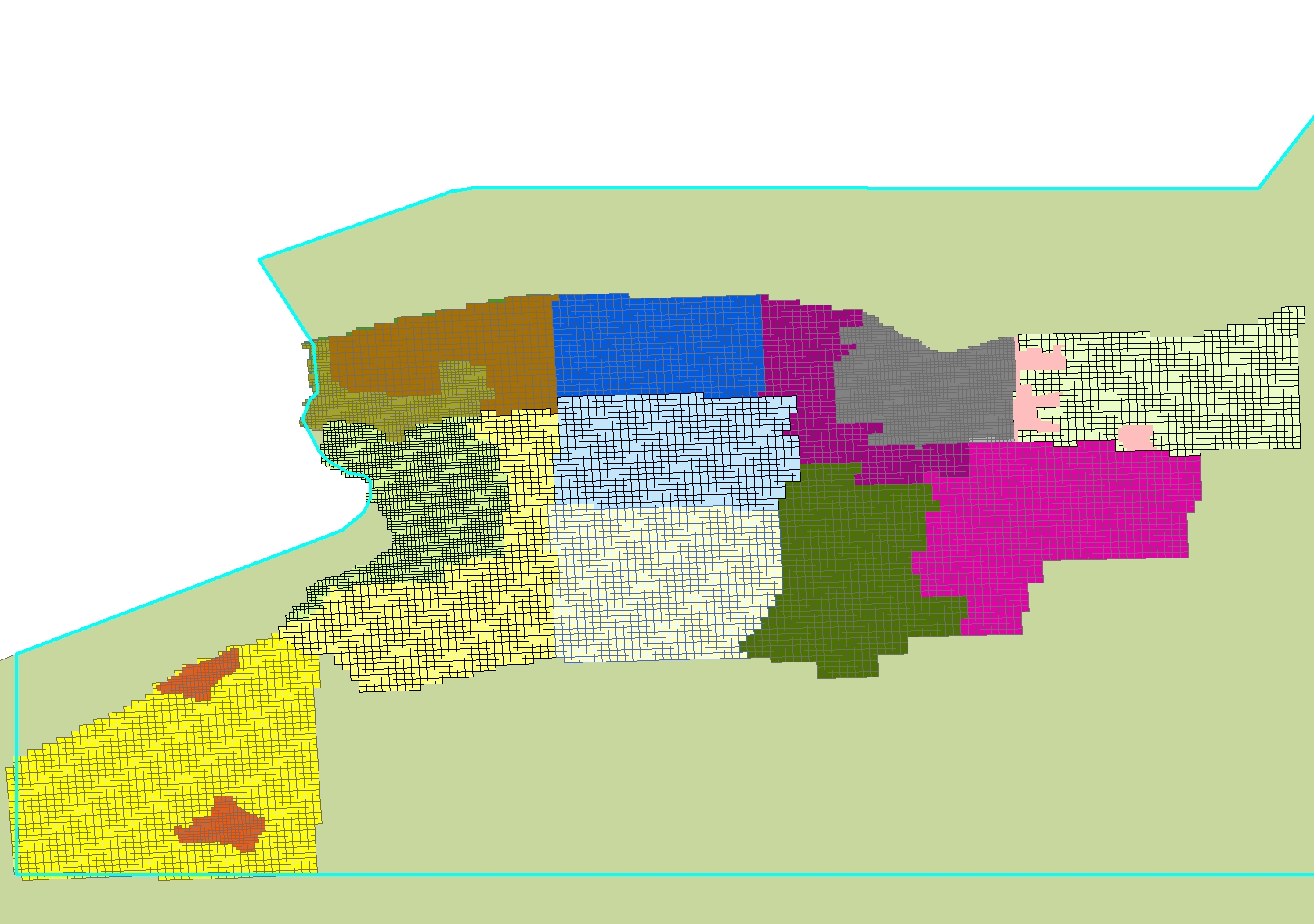
West New York Counties
mtg
nia
ond
ont
orl
ots
sco
stl
sul
uls
war
was
wsh
wyo
montgomery
niarga
oneida
ontario
orleans
otsego
schoharie
st. lawrence
sullivan
ulster
warren
wayne
washington
wyoming
East New York Counties